 Catching Alpha
Every catch
tells you
something.
Your photos, your spots, the conditions that brought it all together. Turn days on the water into a fishing history you can learn from.
Catching Alpha · Catch log, GPS tracks & tides
Your days on the water.
All in one place.
Some details stay with you. Others get lost between trips. Catching Alpha connects the places you fish, the catches you log, and the conditions around them.
A photo. A place.
A fishing memory.
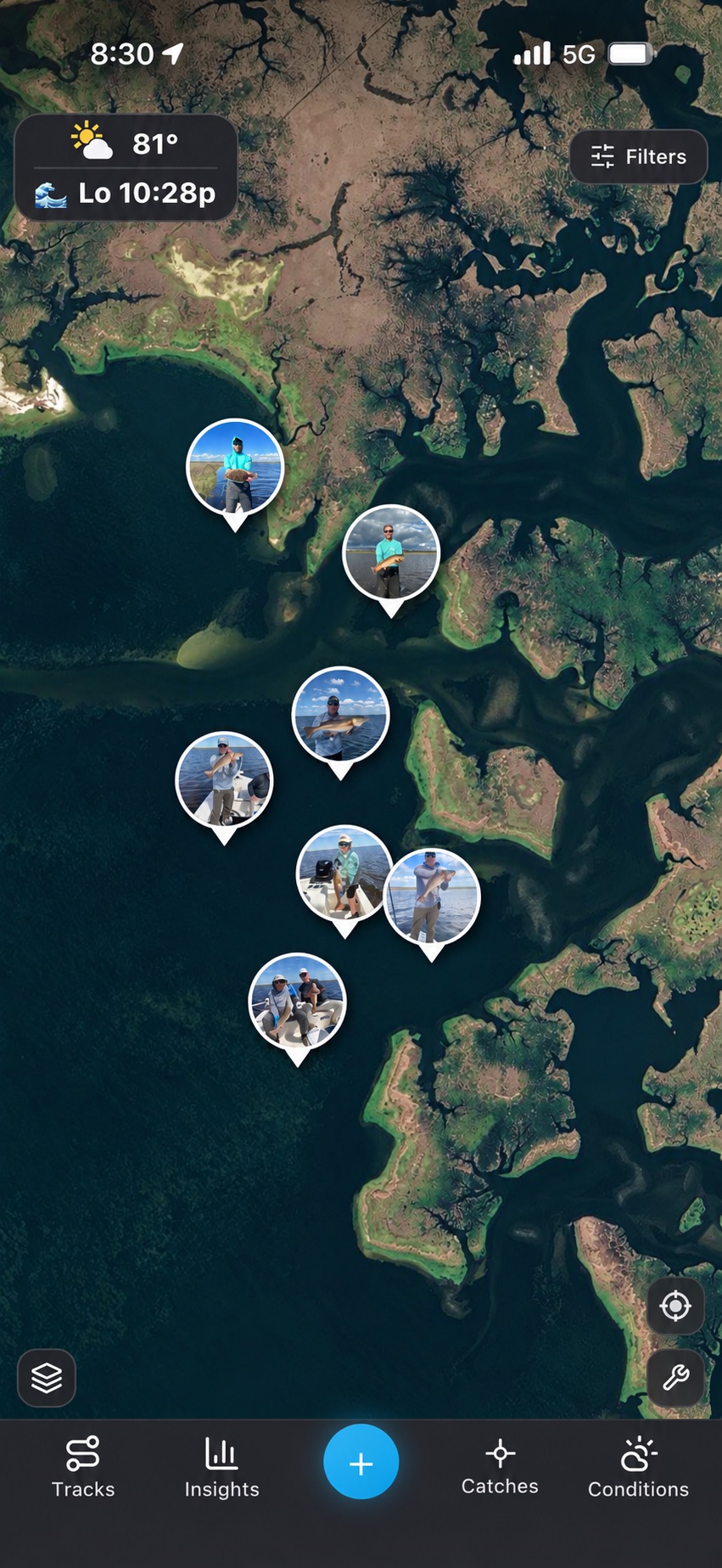
Give the catches in your camera roll a home on the map. Import photos with their saved time and location, or fill in the details yourself. Keep species, length, and lure information with the moment.
- Bring old fishing photos into your log
- Browse catches by fishing day or on the map
- Keep your spots and catches in your own account
Remember what
the water was doing.
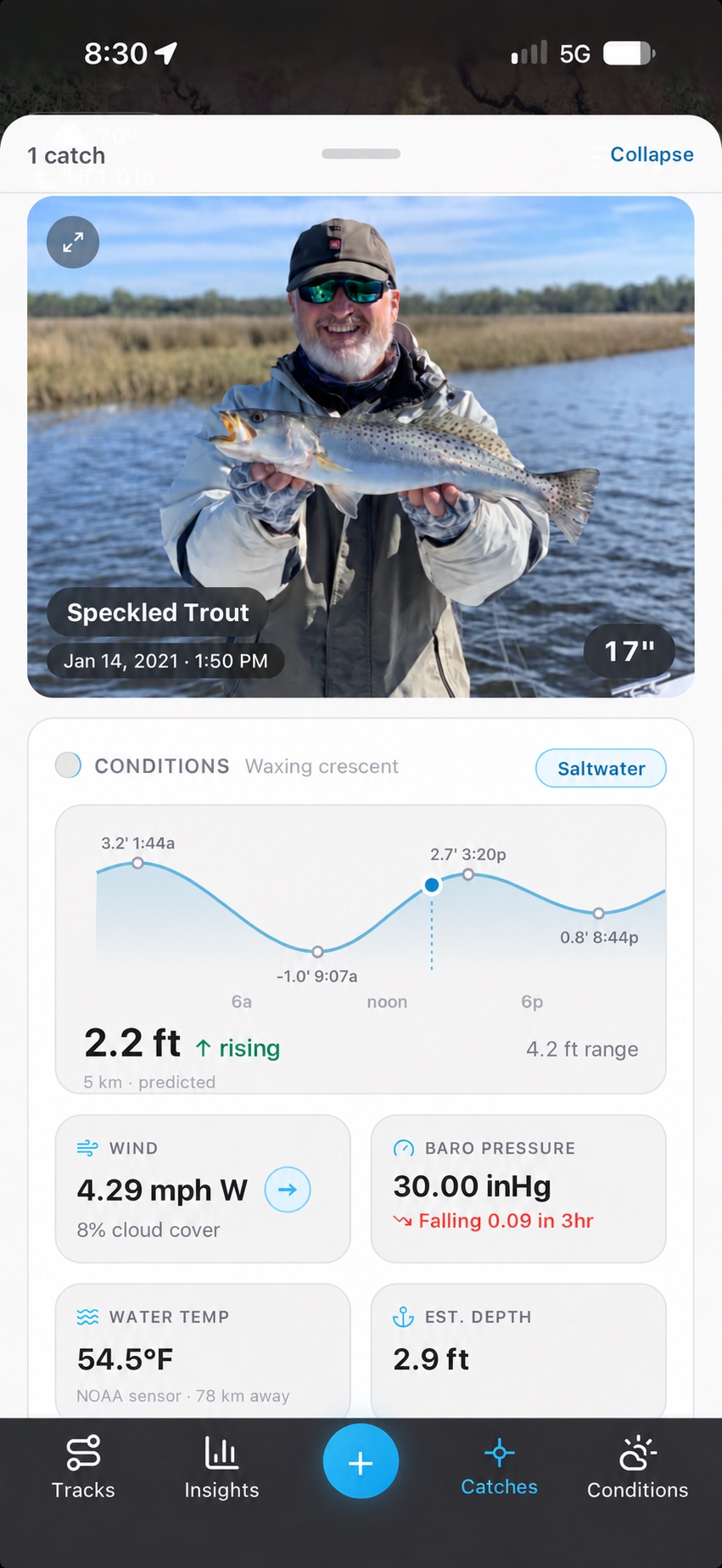
A good catch is more than a photo. Revisit the available tide, weather, wind, pressure, moon, and water temperature information for its place and time.
- See conditions alongside each catch
- Compare the details behind memorable days
- Check current conditions before heading out
Conditions may be observed, historical, or predicted. Availability and station distance vary by location.
Keep the route.
Relive the day.
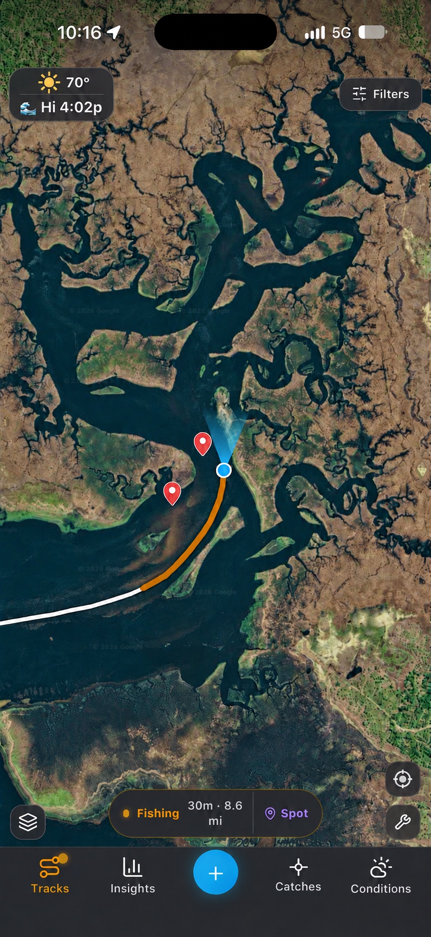
Record your GPS trip and keep track of time spent running, fishing, and on a spot. Revisit the route later and see what worked.
- Record your route, time, and distance
- Save the spots worth another visit
- Review past trips with playback
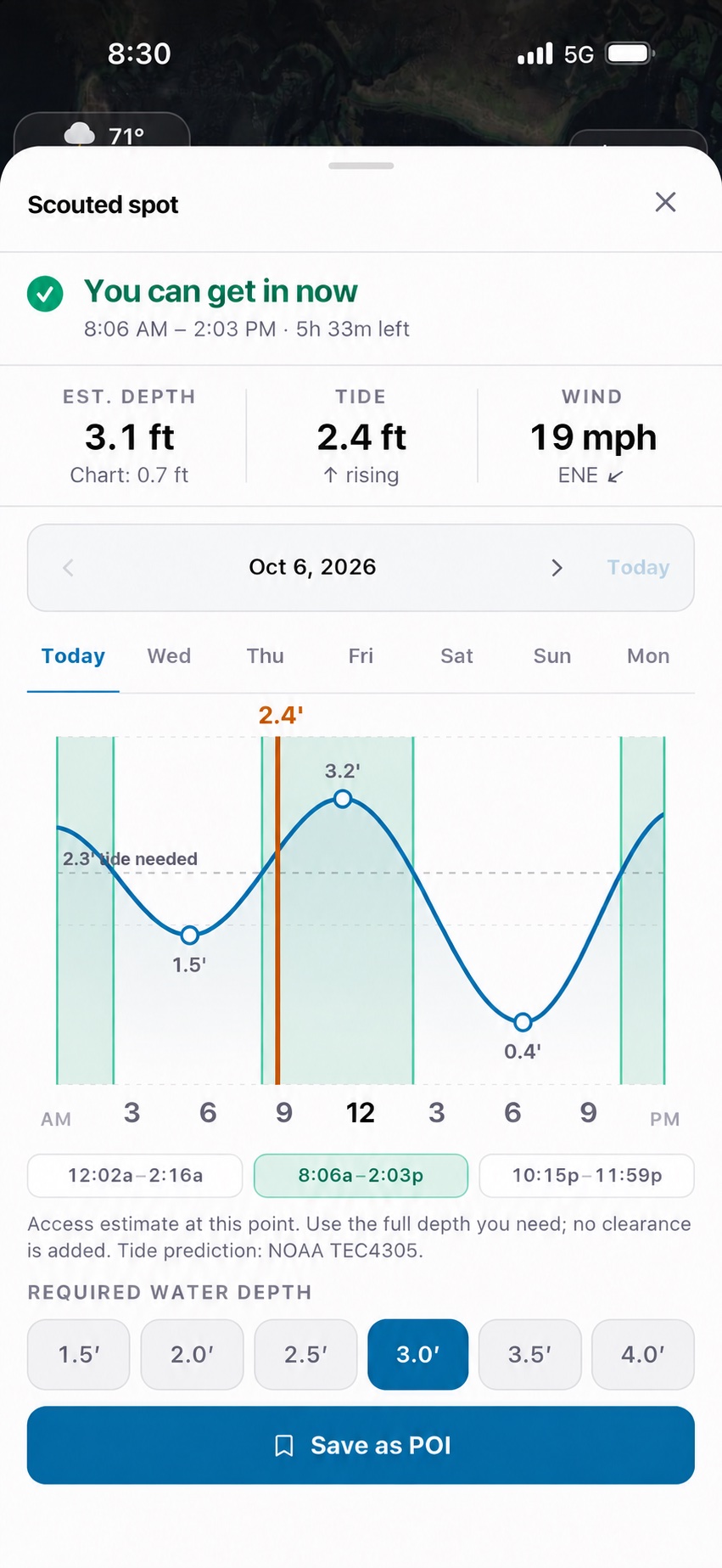
Get to know
your tide window.
Scout a location on the map and compare estimated water depth with the depth you need. Explore predicted access windows as the tide rises and falls.
- View tide predictions for the days ahead
- Adjust the water depth you need
- Save a scouted location for later
Depth estimates and access windows are planning references. They do not guarantee clearance or safe navigation.
Less guessing.
More looking back.
Explore patterns in your recorded catches. Look across tides, seasons, weather, and lure choices to find the questions worth taking on your next trip.
Insights reflect the catches you log, not a prediction or guarantee of fishing success.
Compare tide stages and time of day.
Explore wind, pressure, and temperature.
Look back across your fishing history.
Revisit what you were fishing with.
Make more of
what you remember.
Your fishing history starts with the photos you already have.